
Searching for Flood Solutions as Storms Intensify
A Search for Solutions as Storms Become More Severe
October 30, 2018
As Hurricane Michael’s extreme winds and torrential rain hit Florida and the Gulf Coast hard at the beginning of October, residents of Cambridge only experienced a heavy downpour in the afternoon.
Despite the lack of impact in Cambridge, the result of hurricanes like Florence, Michael, and previous fatal storms begs the question—when will the Boston area be a future storm’s target? As climate change progresses, the severity of storms accelerates because of the evaporation of water, according to a NASA study. Water vapor and humidity are the sources of intensification of storms.
Junior Sydney Down focused on promoting biodiversity in Cambridge this summer through the Mayor’s Program. She believes “natural flood control systems are being covered by urban development which promotes flooding and leaves no way for it to drain.”
While CoreLogic analysts estimate the cost of Hurricane Florence to near $170 million, searching for solutions to flooding has been a focus for urban storm planners.
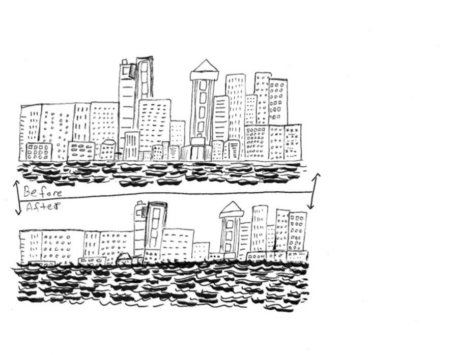
This focus has been addressed by Cambridge residents as well. CRLS ’18 alumna Marina Pineda Shokooh comments on the importance of readiness and reaction, particularly after witnessing the effects of Hurricane Maria in Puerto Rico. She states, “I think the before and after are equally valuable. Especially now, coastal regions need to be prepared for any storm or any change in sea level.”
For inspiration, the United States can look across the Atlantic Ocean. The heart of flood control lies in the coastal country of the Netherlands. The 1953 Zeeland Flood that impacted the Netherlands and parts of Belgium and the United Kingdom resulted in 2,167 deaths, according to the Dutch organization Deltawerken. Since then, the Netherlands has reinvented the nation’s infrastructure in innovative forms, including the Delta Works, or “Deltawerken” in Dutch, which is a collective structure of dams, high barriers, and sliding gates.
Aside from this system, there are numerous other protections that scatter the country’s coast and have led to complete flood protection since the disaster of 1953, according to Public Radio International. An above ground strip neighbored by the ocean is used as a barrier along with a major highway called “Afsluitdijk” by the Dutch. Additionally, the Dutch government purposefully digs ditches in order to have a safe space for excess water to flow into.
CRLS parent and Dutch emigrant Ingrid Hurkmans supports the infrastructure, and believes “it is integrated well, and most of the time people forget that our land has been built for multiple uses.”
While life in the Netherlands proves that the benefits of sustainability outweigh the costs of initial implementation, it is necessary to understand the realities of Cambridge’s future.
Local action has already been taken. The governmental organization Climate Ready Boston (CRB) has conducted neighborhood flood assessments throughout the Greater Boston area.
Although they haven’t completed assessments of every area, the organization has emphasized the importance of the Greater Boston area preparing for flood control, considering the region’s proximity to sea level.
In Cambridge, both the Charles River Dam and the Amelia Earhart Dam will be severely compromised by 2045, damaging the primary flood prevention systems currently in place.
CRB Coordinator Alisha Pegan highlights the organization’s goals, emphasizing, “Most of the solutions aim to connect people to the water, rather than separate them. This means a lot of resilient open spaces that are flood-able, flood protective, and/or elevated, like marshes, living shorelines, vegetated berms, beaches and dunes.”
Senior Antonio Escallón reflects, “There is a ‘good’ side to these storms, and it’s that they have become a wake-up call for those individuals who did not acknowledge climate change as a threat.”
This piece also appears in our October 2018 print edition.